Townsites
Townsites
Home NEW Updates About Us Feedback Historic Sites Consultants Contact Us Terms/Conditions
|
GNOWANGERUP The town site had been declared on July 13 1908, and was still being cleared in 1909. Earlier in 1870 John Forrest had travelled through the District and had stayed with Edward Treasure at Martinup, not far from Whiteworth on the Gnowangerup-Broomehill road. This was originally a pastoral lease established in the early 1800’s.
|
|
|
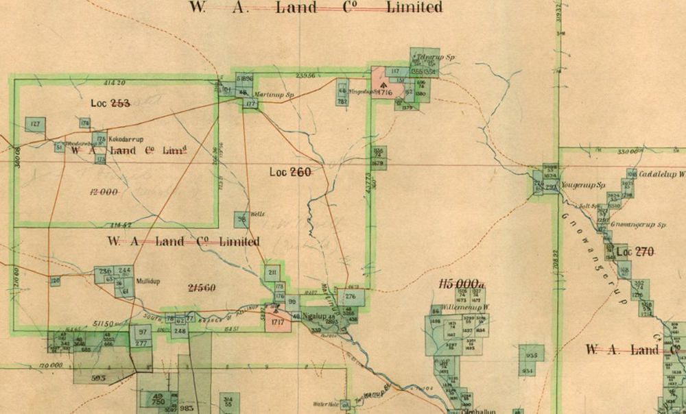
VERY EARLY 1800s MAP SHOWING GNOWANGERUP SPRING AT EXTREME RIGHT WHICH BECAME SITE FOR THE TOWN #1 |
|
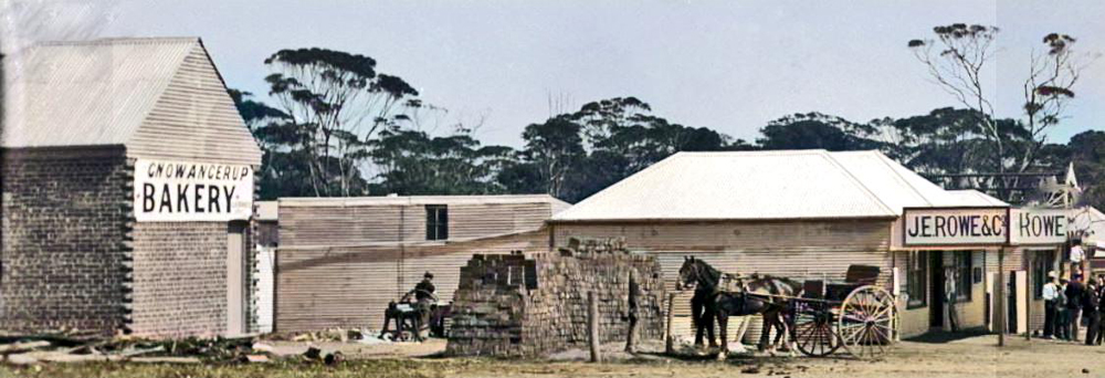
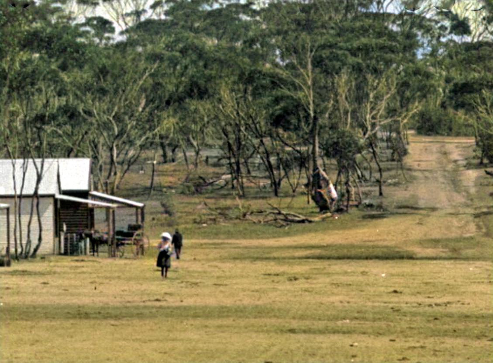
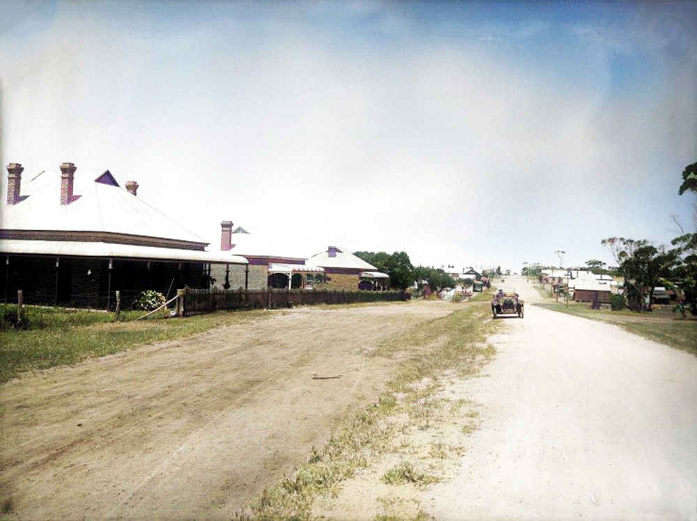
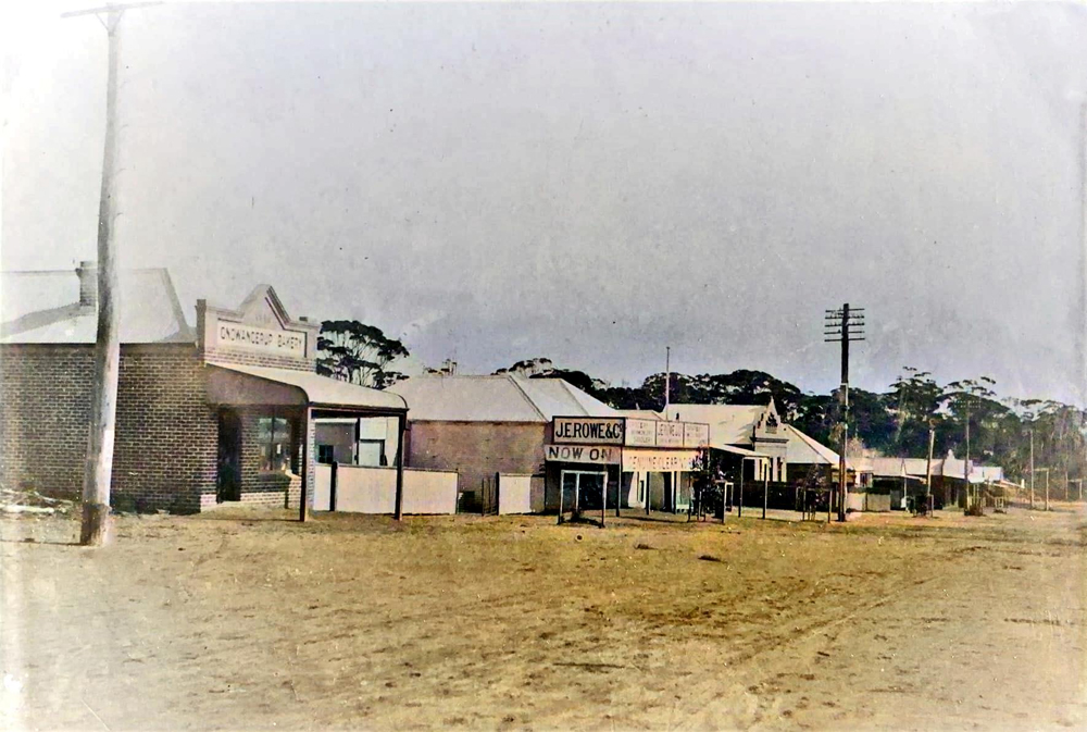
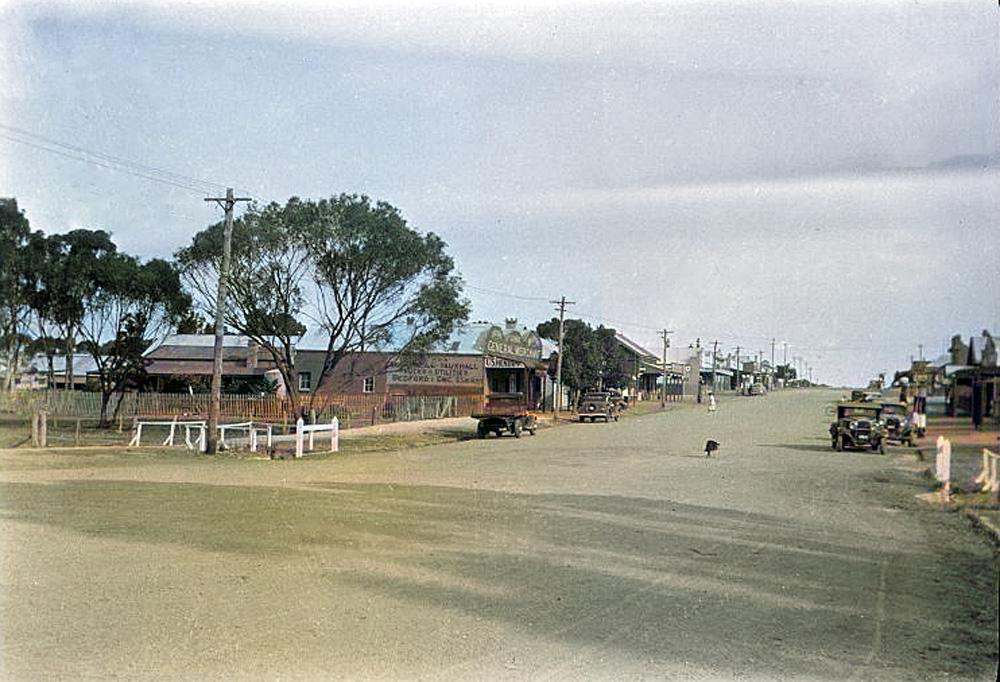
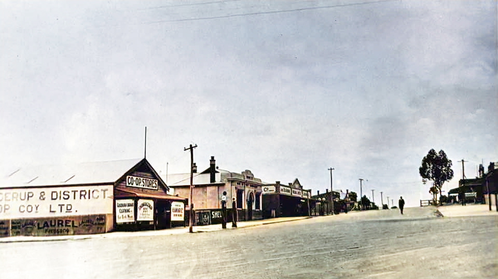
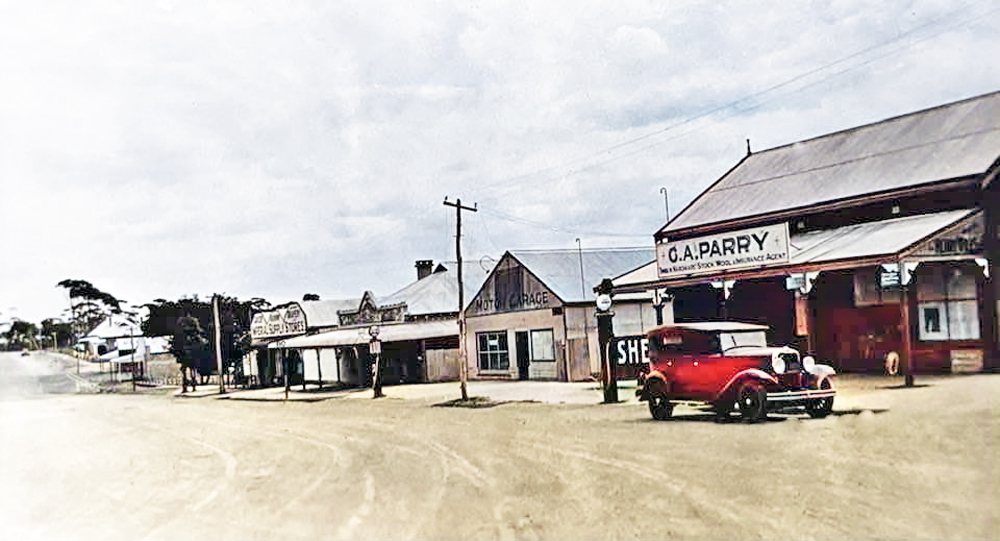
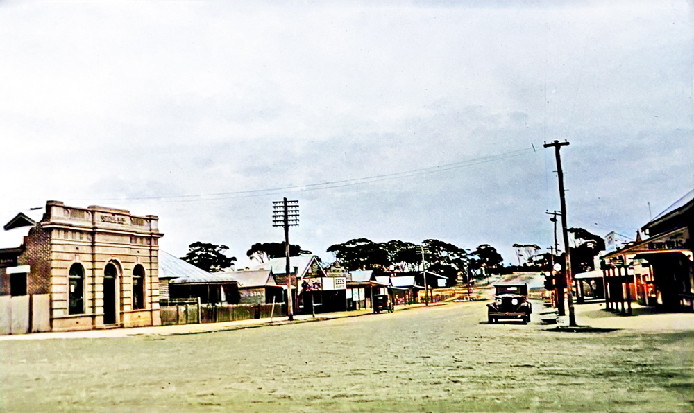
The local residents of Gnowangerup originally requested it be named Quinton, after James Quinn, the first white resident, or Ashton or Warrington – reputedly from whence he came in England. This request was denied by the State Government. The original spelling was Ngnowangerupp, but many locals were unhappy with this spelling and was later changed to the one we use today. James Quinn was cutting sandalwood which was the first industry in the area. A.H. Allardyce tells of the thousands of sandalwood trees that grew in the area. Sandalwood was very valuable evidently grew in areas where there were rocks. Sometime between 1904 and 1906 the town site was surveyed. In the four years between 1906 and 1909 and 1910 over 100 buildings had been erected, there had been none in the town site before 1906. In 1908 the school opened and the Gnowangerup District Roads Board set out its constitution. The town in 1910 was very small; there was a blacksmith,
|
|
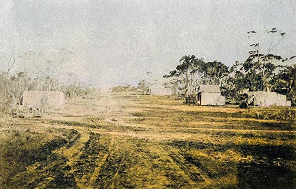
YOUGENUP ROAD LOOKING NORTH 1910 #2 |
|
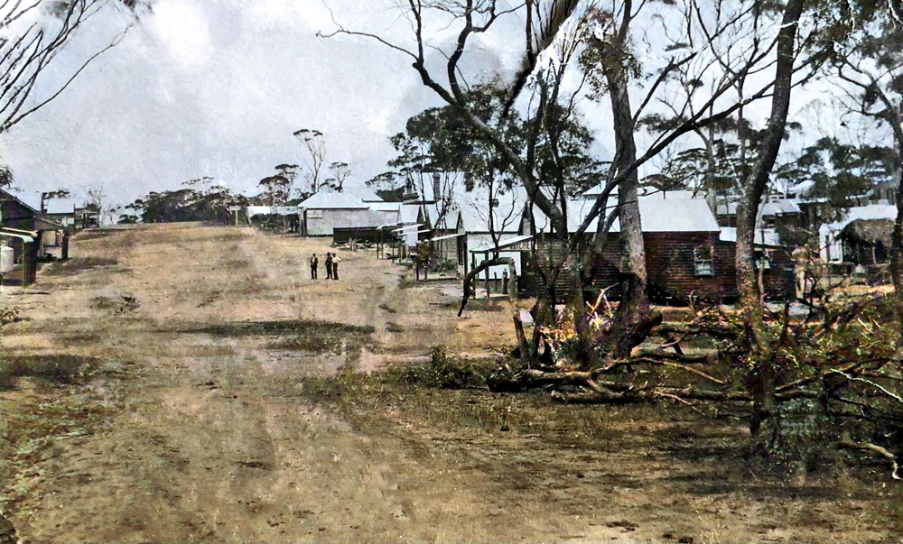
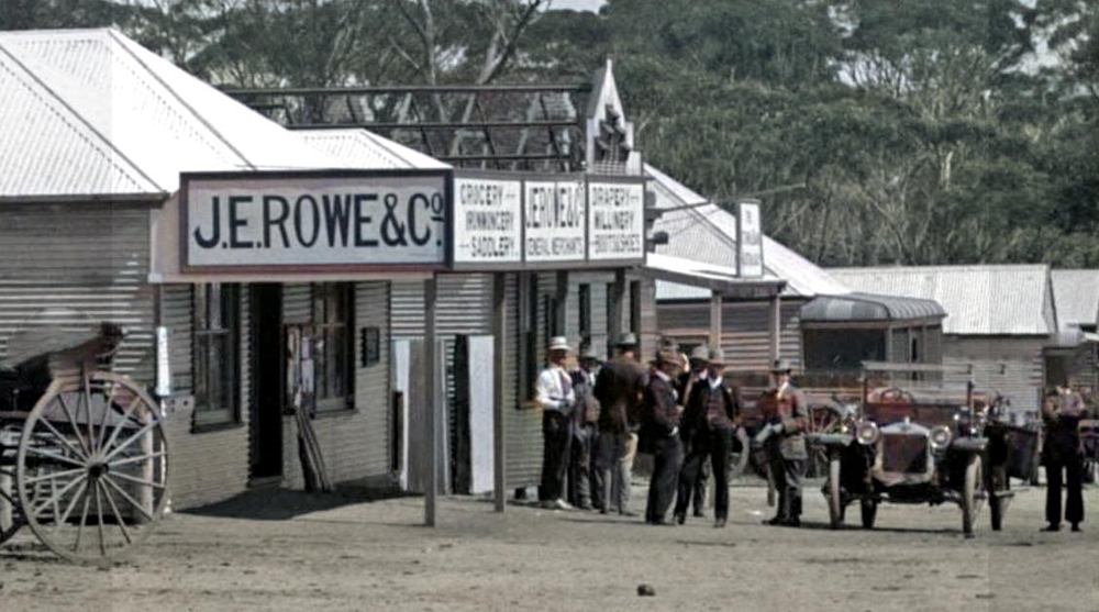
YOUGENUP ROAD LOOKING NORTH 1912 #2 |
|
YOUGENUP ROAD LOOKING NORTH 1912 # |
|
ENLARGEMENT OF SECTION YOUGENUP ROAD LOOKING NORTH 1912 # |
|
ENLARGEMENT OF SECTION YOUGENUP ROAD LOOKING NORTH 1912 # |
|
ENLARGEMENT OF SECTION YOUGENUP ROAD LOOKING NORTH 1912 # |
|
|
|
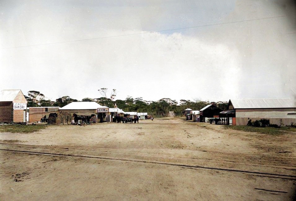
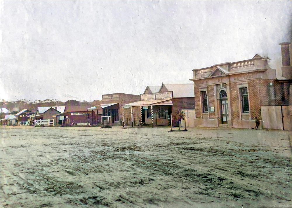
YOUGENUP ROAD LOOKING SOUTH 1913c # |
|
YOUGENUP ROAD LOOKING SOUTH WEST 1920c # |
|
|
|
|
|
|
|
YOUGENUP ROAD LOOKING NORTH 1950c # |
|
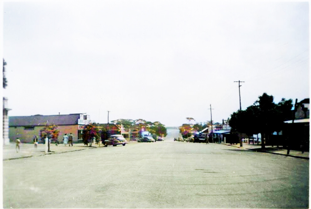
YOUGENUP ROAD LOOKING NORTH 1959 # |
|
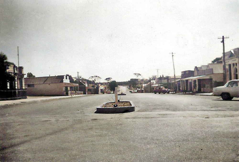
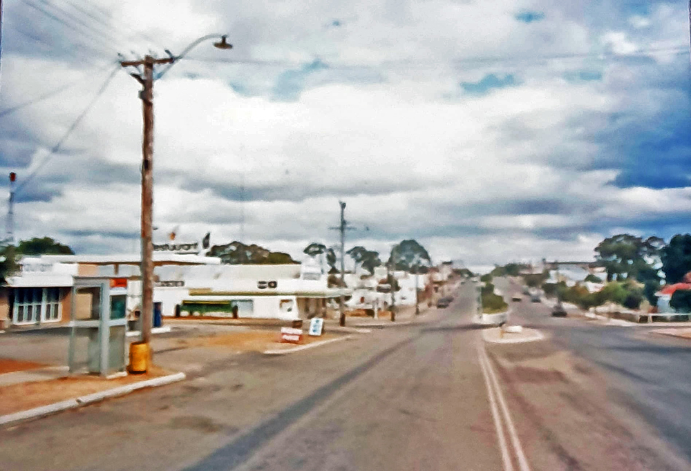
YOUGENUP ROAD LOOKING SOUTH 1986 # |
|
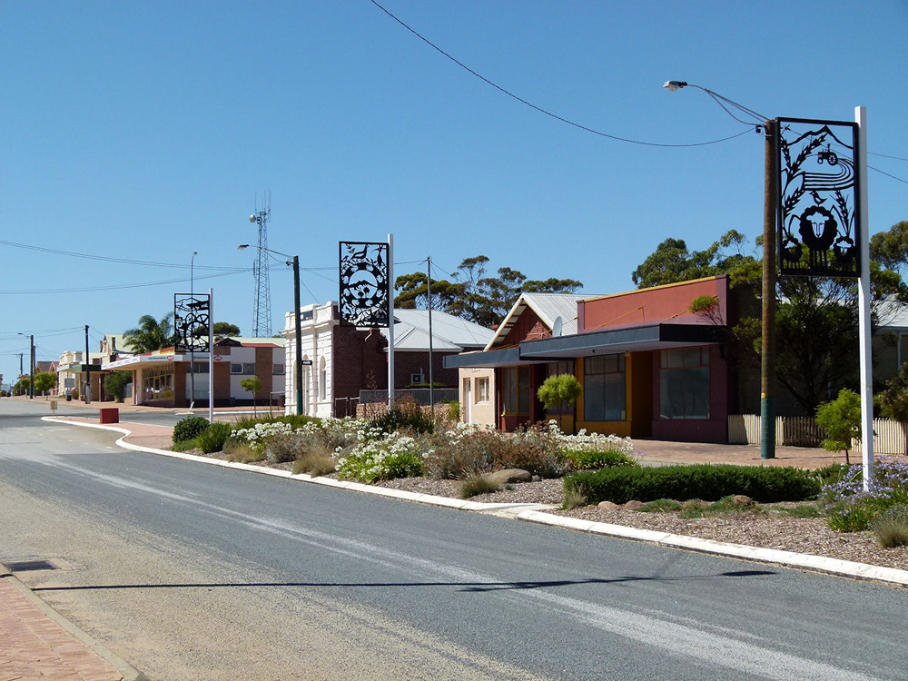
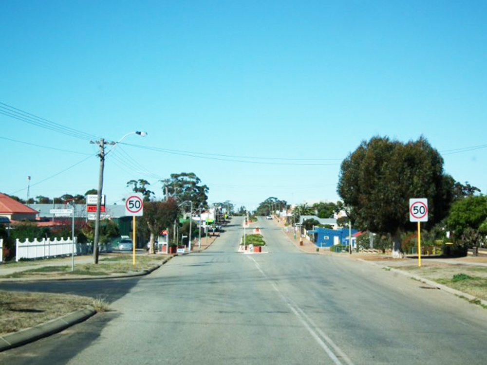
YOUGENUP ROAD LOOKING WEST 2016 # |
|
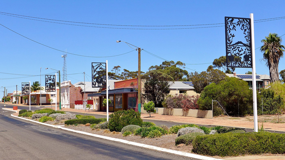
YOUGENUP ROAD LOOKING WEST 2918 # |
|
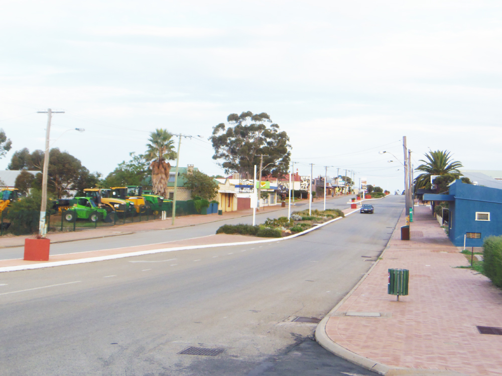
YOUGENUP ROAD LOOKING SOUTH # |
|
YOUGENUP ROAD LOOKING SOUTH # |
|
Every endeavour has been made to accurately record the details however if you would like to provide additional images and/or newer information we are pleased to update the details on this site. Please use CONTACT at the top of this page to email us. We appreciate your involvement in recording the history of our area.
|
|
References: Article: Image:
Copyright : Gordon Freegard 2024 |